 |
Science Frontiers ONLINE No. 93: May-Jun 1994 |
|
|
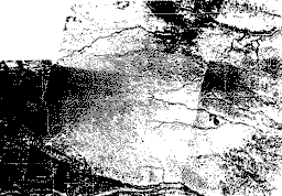
The nebraska sand hills: wind or water deposits?

|
Mainstream geologists write these sandhills off as eolian (wind-carried) deposits laid down during the late Pleistocene. Hansen, however, along with geological iconoclast A. Kelly, demur. The Nebraska sanhills, they aver, were actually deposited by a wall of water sweeping down across the continent from the north -- very likely the consequence of an impact of a large asteroid. For more on Kelly's rejection of the eolian theory and many additional examples of deposits by huge tsunamis or marine incursions, see his book Impact Geology and/or category ETM7 in our catalog volume: Carolina Bays, Mima Mounds, etc. (To order the latter book, visit here.)
(Hansen, Evan; personal communication, March 26, 1994.)